Travel
The National Hurricane Center Reveals New Invest 97L Threat: Florida And The United States At Risk Next Week

November is upon us, but tropical storm threats don’t seem to be going away just yet. Among the many storms brewing, Subtropical Storm Patty remains active – storm warnings are in effect for all of the Azores. The storm is expected to produce rainfall of 1 to 2 inches – with 4 inches across the Azores expected for early Monday.
The other threat monitored by the National Hurricane Center is Invest 97L. Throughout the week, the odds continued to increase for possible tropical depression formation. Odds for next week are currently at 90%.
Let’s take a look at the latest updates from the NHC, and what it all means for the United States heading into next week.
Related
National Hurricane Center Issues Advisories For Two New Storms: Vacation Hot Spots Affected
Several vacation hot spots can expect lots of rain following the latest NHC advisories.
Invest 97L Is Causing Lots Of Uncertainty Out Of The Southwestern Caribbean Sea For Next Week
The Southwestern Caribbean Sea continues to be monitored by the National Hurricane Center. In early AM on Sunday, the latest update was issued. Formation odds have jumped for next week. The chance of formation is as high as 80% for the next 48 hours, while formation chance is at 90% for the next seven days.
A further update should be coming later today. An Air Force Hurricane Hunter aircraft is set to investigate further. For the time being, the NHC reports areas of the Wester Caribbean can expect heavy rain.
“Regardless of development, locally heavy rains are possible over portions of the adjacent land areas of the western Caribbean, including Jamaica, Hispaniola, and Cuba. Interests in the western Caribbean Sea should monitor the progress of this system.”

Related
A Potential November Hurricane In Florida Could Set An All-Time Record
The latest hurricane development in the Caribbean is worrisome for Florida.
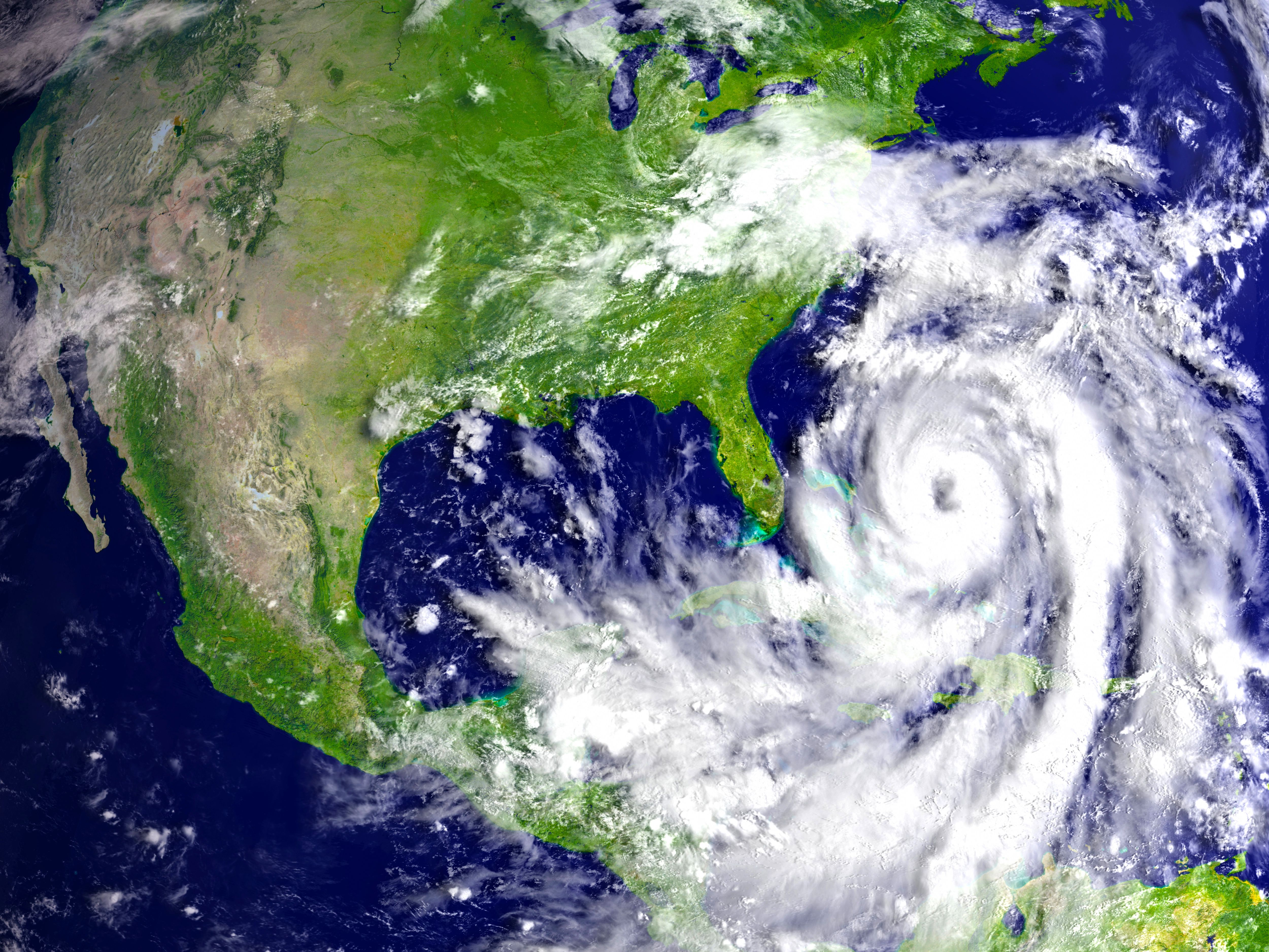
What Does The Southwestern Caribbean Sea Movement Mean For Florida?
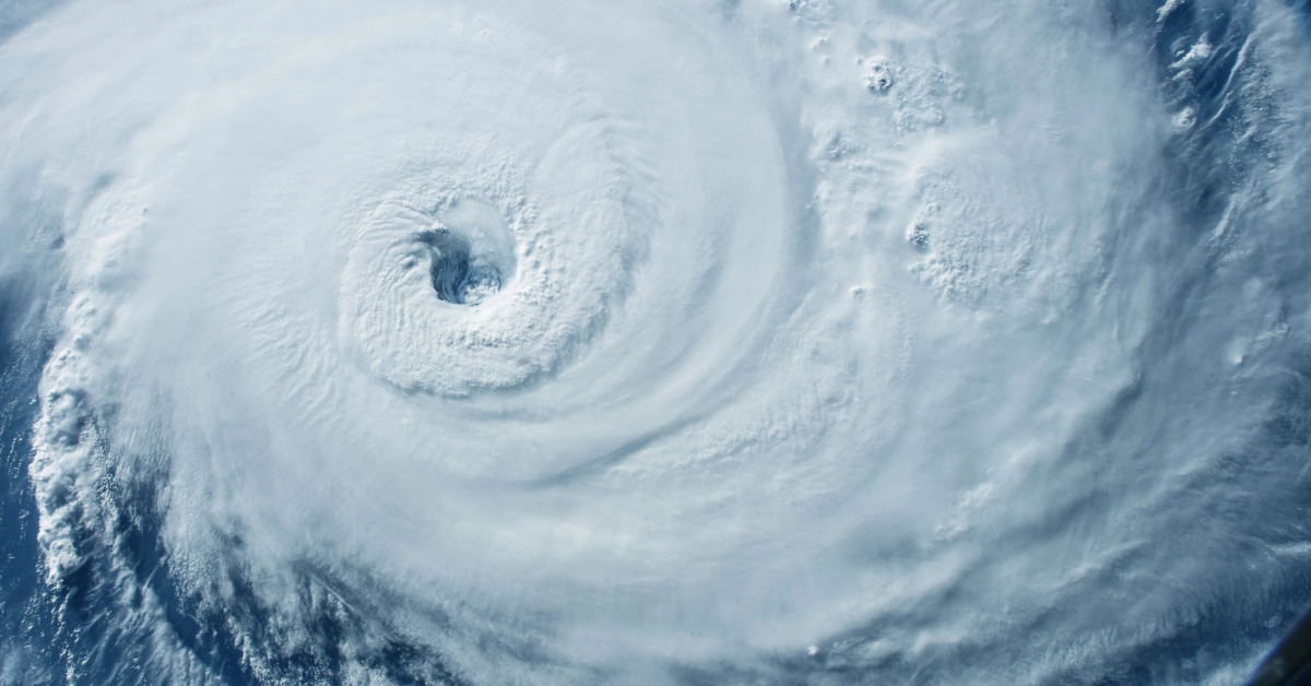
Hurricane view from above.
A tropical depression seems inevitable at this point. But what does it all mean for Florida and the US? Ryan Truchalat, forecaster-owner of Weathertiger, believes there are two possible paths at the moment.
“Most reliable guidance suggests that western flank of that steering high pressure will still extend over the Gulf, keeping a potential storm moving west or northwestward into the southwestern Gulf of Mexico,” he tells USA Today.
As for the other potential path, Florida could be implicated.
“A minority of model ensemble members have a faster, stronger frontal passage, in which case a storm theoretically near the Yucatan or Cuba might then turn northeast towards Florida towards the end of next week or over the following weekend.”
Formation models suggest Florida and the U.S. are both okay for the weekend – but the situation will be monitored heading into next week.
*Stay with us for more updates.


